FREDONIA — Over the last six weeks, wildland firefighters worked to establish, reinforce and hold the line around the established 3,915-acre planning area on the Burnt Complex. On Aug. 5, they successfully achieved this management goal. Earlier this wildfire season, firefighters also successfully managed the Locust Fire, which consumed more than 3,227 acres of excess pine litter and dead-woody debris on the forest floor.
“Collectively, I can safely estimate both these wildfires removed approximately 5 to 10 tons-per-acre of excess fuels from the forest floor, making these portions of our forest healthier, more resilient to future wildfires and overall safer for those visiting the forest,” said North Zone Fuels Specialist Dave Robinson.
Objectives for a lightning-caused wildfire can call for full suppression, allowing the fire to take its natural course, or a combination thereof. This decision can be challenging because it includes a number of complexities that must be taken into account when planning such an operation. Such complexities can include but are not limited to landscape, terrain, and weather but also public health risk and values at risk, such as historic landmarks, power lines, communication towers, local businesses and privately-owned properties in or near the location of the wildfire, also referred to as the Wildland-Urban Interface or the transition zone between unoccupied land and human development.
When conditions are right and deemed appropriate to manage as identified by the Kaibab National Forest Land and Resources Management Plan (LRMP), management action objectives often include returning fire to a fire-adapted ecosystem, reducing accumulated fuels on the forest floor; recycling of nutrients into the soil; enhancing wildlife habitat and protecting the area from future high-intensity wildland fires.
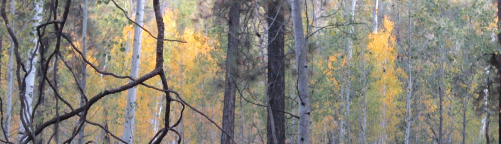
Robinson adds that in addition to reducing fuel surface loads on the ground, it is also necessary to open the tree canopy and reduce understory tree densities in the planning area, resulting in a mosaic of patches and corridors of trees and diversity of distribution and abundance of different plant and animal communities and species within the area covered by the LRMP. On the Burnt Complex, this was accomplished by reducing the number of pole-sized trees, according to Robinson; a term used to describe trees 6 inches in diameter or less.
Robinson, who works for both the Kaibab National Forest and Grand Canyon National Park in fuels management, added that “wildfire is a commodity that we can’t afford to live without. So we do our best to manage these naturally-caused fires by manipulating the fire and keeping it at the low-and-slow intensity we want so nature can run its course. This natural disturbance process allows fire to reduce excess fuels, lessen the risk of future high-intensity wildfires, and allow fire to return to the ecosystem safely and effectively in an environment that needs fire to remain healthy.”
Both the Burnt Complex and the Locust Fire continue to be in monitor and patrol status, and fire managers are asking forest visitors to avoid entering the recently burned area as interior fuels may still be putting out heat and smoke.
“Successful management of these lightning-caused fires starts with communication and information. Firefighter and public safety is always the most important consideration as part of that process,” said North Zone Fire Management Officer Ed Hiatt. “We want our visitors to understand that even though a recently burned area may look like a safe place to explore, it isn’t. There may be fire-weakened tree hazards overhead or stump-hole hazards on the ground, which can cause serious injury, so it is always best to be aware of your surroundings, be on the lookout for such hazards and use extreme caution if hiking or camping in the vicinity.”
